
Description
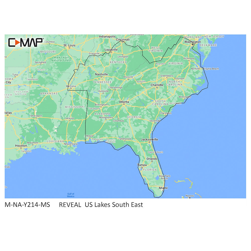
US Lakes South East
M-NA-Y214-MS
Compatible with selected chartploteters from Lowrance/Simrad/B&G
Marine Cartography; C-Map Reveal Lake Charts Feature Vector And Raster Maps, Custom Depth Shading, Hi-Res Bathymetry, Vegetation, Bottom Composition, Shaded Relief, Satellite Overlay, And Easyrouting On SD/Micro-SD Card., US Lakes, Southeast
Product Description
C-Map MAX-N+ Reveal Lake Charts Cruising, fishing or sailing, C-MAP REVEAL Lakes charts offer the very best of C-MAP. With Shaded Relief, including game-changing Reveal Seafloor Imagery, Aerial Photography and Satellite Overlay presentation added to the core C-MAP features found in DISCOVER -- full-featured Vector Charts, with Custom Depth Shading and subscription-free Easy Routing. It also features the very best of C-MAP High-Res Bathy, including integrated Genesis data. Purchase features a full 12 months of online updates.